Aerial
Insight.
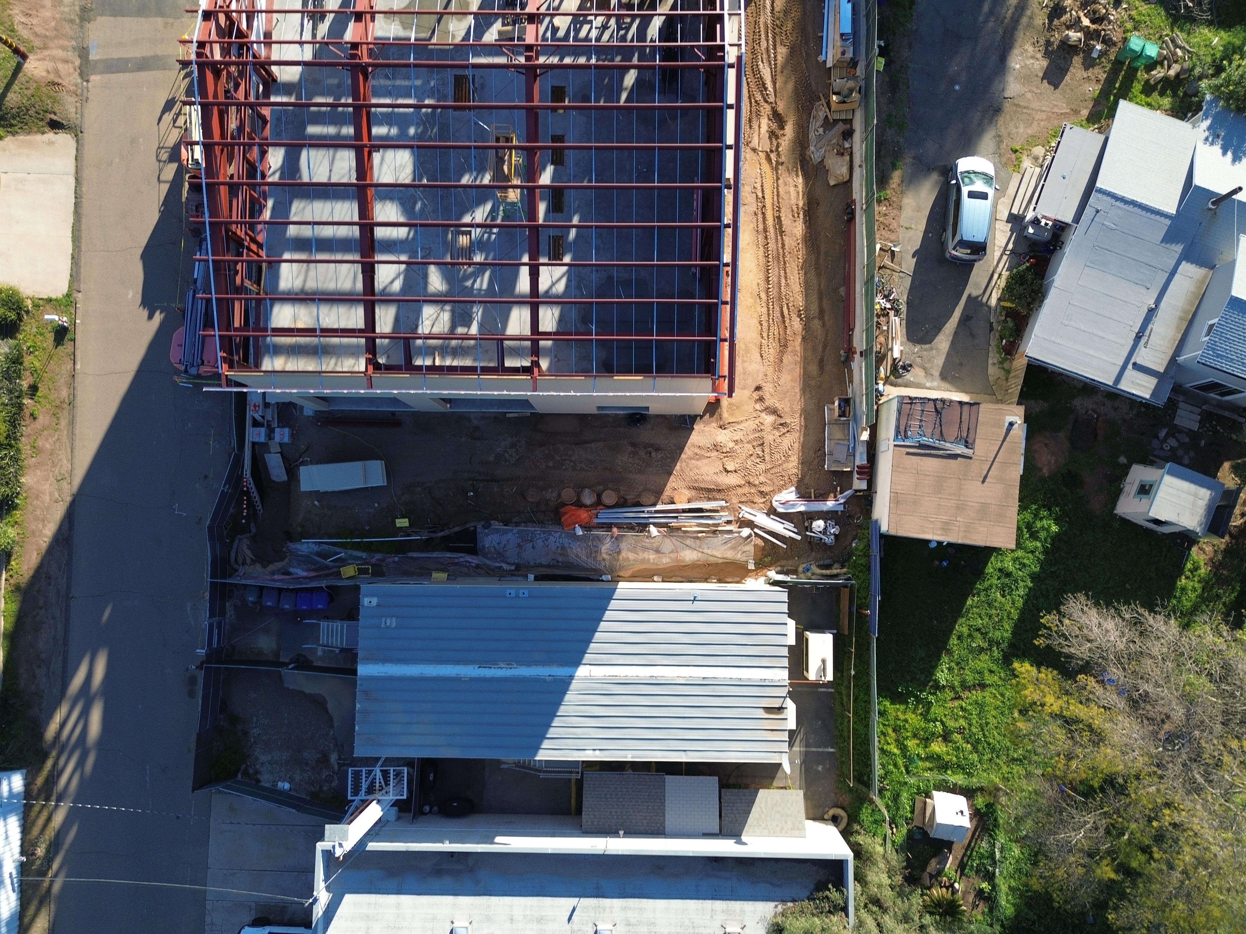
Professional aerial documentation and progress monitoring for construction and real estate. Visual reference you can trust.
Licensed
FAA Part 107
Certified
Drone Tech & Applications
Insured
Liability 1M+
24h
Data Turnaround
Construction & Real Estate
Three tiers of visual site data, for construction and real estate.
Construction packages include LumaHub portal access. Real estate packages deliver media directly — portal access available upon request.
Visual Documentation
Aerial photography and 4K cinematic video. Ideal for simple site monitoring and stakeholder updates.
3D Reference
Visual documentation plus an interactive 3D site model. A clear spatial reference for project managers and investors.
Comprehensive Suite
Images, video, 3D models, and visual site maps. The complete visual data stack for large-scale site documentation.
How It Works
From flight plan
to deliverable.
Every Luma Aerial engagement follows a structured protocol from site briefing through deliverable delivery inside LumaHub.
Start a ProjectSite Briefing & Planning
Project scoping, site boundaries definition, and safety pre-authorization.
Visual Data Capture
Scheduled aerial flight to capture high-resolution imagery and video for your site.
Processing & Assembly
Professional image editing, video assembly, and initial 3D model generation.
Quality Review
Final review of all visual assets to ensure clear documentation and coverage.
LumaHub Delivery
Secure client portal upload with interactive viewers and visual annotation tools.
Ready to Start
Your site documentation,
delivered via LumaHub.
Contact us to scope your next site monitoring project. Visual reference for investors and project managers.